High-Resolution Land Hydrology Modeling at NASA
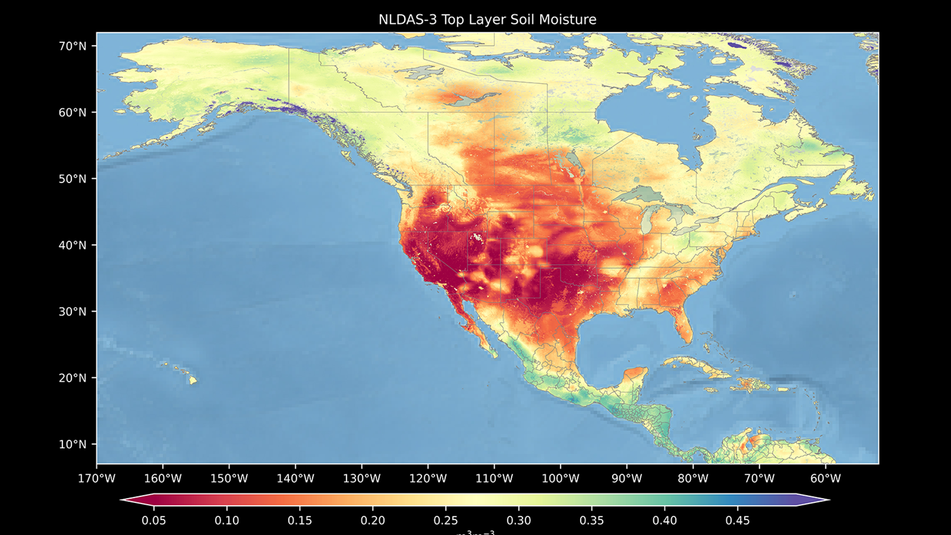
NASA Goddard Space Flight Center’s Hydrological Sciences Laboratory takes satellite-based products to enhance our understanding of Earth’s water cycle. Land hydrology modeling leverages a variety of satellite-based products including precipitation from the Global Precipitation Measurement mission, soil moisture from the Soil Moisture Active Passive mission, and ground water from the Gravity Recovery and Climate Experiment mission. The laboratory’s Land Information System (LIS) framework integrates these observations with model forecasts to generate improved estimates of land surface conditions such as soil moisture, evaporation, snowpack, and runoff (at 1-kilometer and finer spatial resolutions and at one-hour and finer temporal resolutions). Ongoing scientific studies with LIS include ground water depletion from irrigation, ground conditions leading into a wildfire season, and the quantification of human activities on the water cycle.
Our research is conducted over large domains at high resolution; thus, both our computational and data needs are great. NASA supercomputing resources and services enable us to perform the numerical simulations that are at the core of our research.
James Geiger,
NASA Goddard Space Flight Center
Quick Facts
- Scientists use all aspects of NASA supercomputing resources, including those at the NASA Center for Climate Simulation, running thousands of hours of computational simulations; storing hundreds of terabytes of data; using software packages for data processing and visualization; using the NASA Science Managed Cloud Environment for cloud computing; and receiving technical support to accomplish research.
- Key results from these endeavors include understanding the role of the water cycle in natural disasters and quantifying the impact of human activities on the water cycle.
- Data and results from NASA land hydrology studies are used for improving weather and surface condition forecasting, helping decision makers with managing water resources, assisting in disaster response, and evaluating foreign aid.
- Next steps include improving scientific understanding of snow and snow modeling as it pertains to the overall water cycle.
Researchers
- James Geiger, NASA Goddard Space Flight Center Please enable Javascript to see email address.
