
Understanding Our Planet's Evolving Ocean, Ice, Carbon, and Ecology
Overview
NASA has been observing the oceans from space for more than 30 years, beginning with the Seasat Earth-orbiting satellite launched in 1978. This legacy continues today with a new generation of NASA missions that measure ocean surface topography, winds, temperature, salinity, color, gravity, and sea ice properties. These satellite data records, in combination with numerical simulations of the global ocean circulation, provide vital information for understanding climate change and its impact on land and sea ice, ocean ecology, and the global carbon cycle.
Project Details
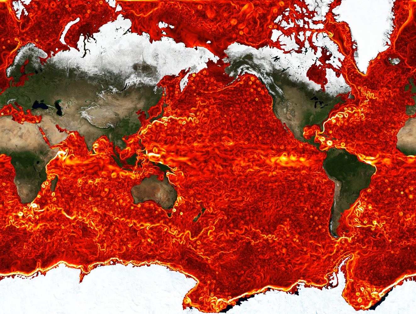
The Consortium for Estimating the Circulation and Climate of the Ocean (ECCO) was established in 1998 to produce quantitative reconstructions of the time-evolving global ocean state by combining oceanic observations with numerical models. Such reconstructions are important because satellite instruments only measure surface or depth-integrated quantities and in situ observations are sparse compared to the scales and properties of ocean circulation. The models propagate information from observed to unobserved times and regions in a physically consistent way.
Results and Impact
The numerical reconstructions produced by ECCO and related projects have proved scientifically useful in a large number of oceanographic and interdisciplinary studies. Of specific recent interest are the study of interactions of ocean currents with sea ice and marine-terminating glaciers and the study of ocean ecology and biogeochemistry. For example, ECCO solutions have been used to study the possible impact of ocean currents on glacier acceleration around Greenland and Antarctica, to drive ocean ecology and fishery models, and to simulate the role of the ocean in the global carbon cycle.
Role of High-End Computing Resources
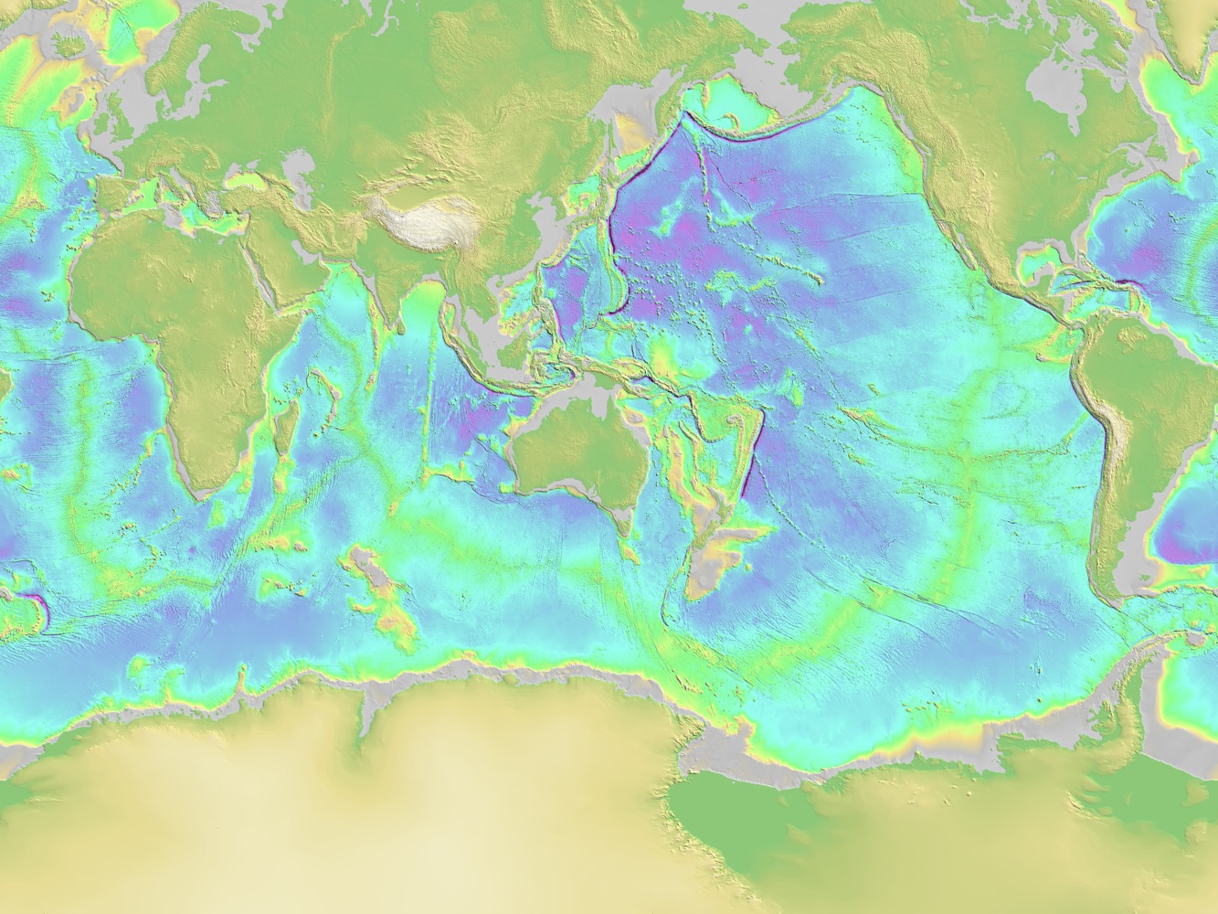
NASA supercomputing resources allow the ECCO project team to run the massive numerical ocean simulation and minimization problems that must be solved in order to obtain quantitative reconstructions of the time-evolving global ocean state. High spatial resolution is needed to accurately represent eddies, ocean depth (bathymetry), and eddy/bathymetry mediated processes such as ocean heat and carbon balances, water transport through narrow straits and fjords, and ocean biological production. All these processes vary in complex and interdependent ways in a continually changing climate. Using computationally intensive models, together with remotely sensed and in situ data, is the only way we know to truly see how the planet is evolving globally in a consistent and comprehensive way.
Christopher Hill, Massachusetts Institute of Technologycnh@mit.edu Dimitris Menemenlis, NASA Jet Propulsion Laboratory
menemenlis@jpl.nasa.gov