
A Virtual Telescope on the World's Oceans and Sea Ice
Overview
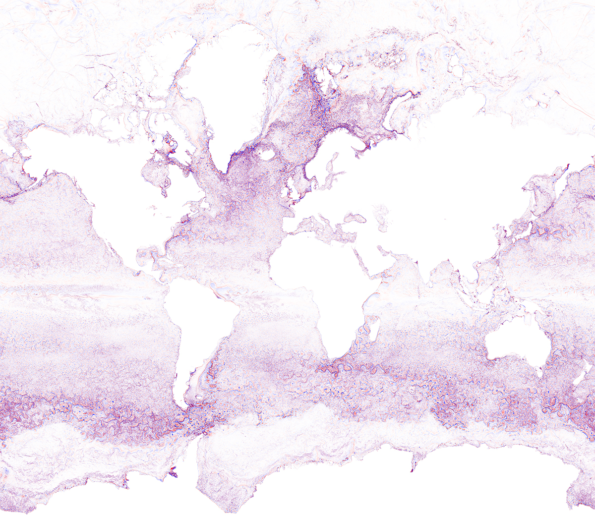
Effective monitoring and understanding of the oceans and cryosphere—the frozen places on our planet—are critical to helping resolve many compelling scientific and societal questions concerning the origins, rate, magnitude and distribution of current and future sea-level changes, and the extent and degree of ocean pH changes. The Estimating the Climate and Circulation of the Ocean (ECCO) project uses data assimilation techniques to address these, and other climate-related questions. The project centers on mathematically constraining the Massachusetts Institute of Technology General Circulation Model (MITgcm) to fit observations from satellites and terrestrial instruments. Combined with NASA's high-performance computing (HPC) capabilities, this work is allowing scientists to produce time-varying, three-dimensional global "maps" of Earth's liquid and frozen ocean system, at unprecedented horizontal resolutions of 1-kilometer (km). The resulting datasets provide the oceanic equivalent of a telescope that can reveal the state of the entire ocean/sea-ice system in new detail.
Project Details
By leveraging NASA HPC capabilities and modeling tools that bring simulation and observational data together, the ECCO project is producing petabyte-sized, self-consistent descriptions of the world's ocean and sea-ice state. Satellite data measurements include: relative sea-level change; ocean-surface height, temperature, roughness, and salinity; and ocean color. These data, together with in-situ and air-borne measurements, provide constraints to ECCO's MITgcm model simulations. The simulations are able to fill in gaps in observational coverage, to produce a fully three-dimensional, time-varying datasets describing the ocean and sea-ice state.
Results and Impact
The model solutions produced by the ECCO project can be used to inform fundamental questions, such as how the circulation, chemistry, and biology of the ocean collectively interact with atmospheric and lithospheric reservoirs of carbon. The solutions can also be applied to question such as how a pollutant plume or debris field might spread from a particular ocean location, or where and when heat is being drawn into or released from the ocean interior.
Why HPC Matters
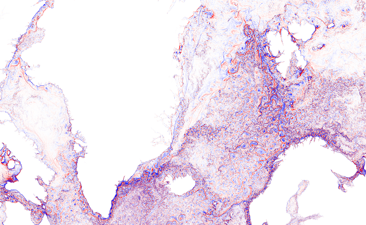
The ECCO work featured uses NASA HPC resources to execute the MITgcm model with 20 billion grid cells, applied to the 2010–2014 period. In collaboration with the NASA Advanced Supercomputing facility's data analysis and visualization team, we have developed custom pipelines for streaming the model state to a high-performance Lustre data storage system, in parallel with the computations. The resulting system easily sustains 20 gigabytes per second on Pleiades, while remapping domain-decomposed data structures to globally indexed forms suited for interactive post-analysis.
What's Next
The HPC capabilities developed by the NASA and ECCO teams allow a model trajectory to be recorded at very high temporal resolution, so that a decadal-long simulation could be recorded in a matter of months—assuming a requisite 50 petabyes of storage is available. As storage capabilities increase in the coming years, this has the potential to become a transformative strategy for monitoring the global ocean.
Chris Hill, Massachusetts Institute of Technologycnh@mit.edu Dimitris Menemenlis, NASA Jet Propulsion Laboratory
dimitris.menemenlis@jpl.nasa.gov