Ultrascale Climate Data Visualization and Analysis
Overview
Earth system scientists are being inundated by an explosion of data generated by ever-increasing resolution in both global models and remote sensors. Advanced tools for accessing, analyzing, and visualizing ultrascale climate data are required to maintain rapid progress in Earth system research. To meet this need, the NASA Center for Climate Simulation (NCCS) at Goddard Space Flight Center is developing an advanced computational infrastructure that can provide high-performance analysis and visualization capabilities to the desktops of climate scientists.
Project Details
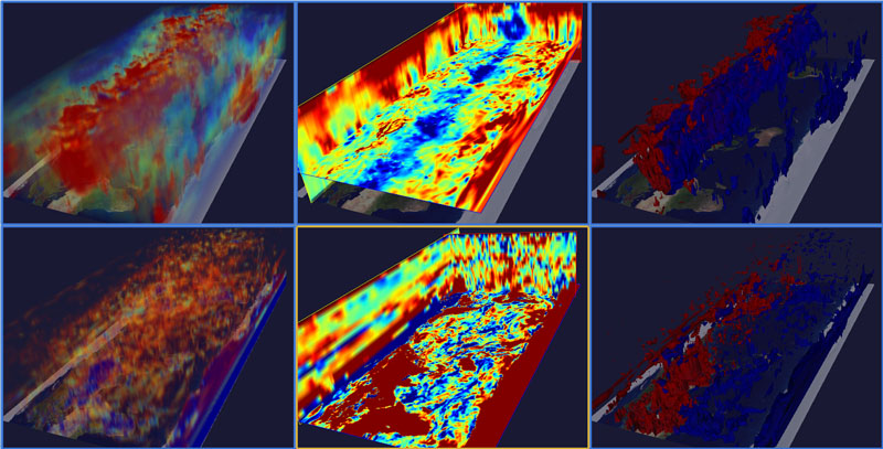
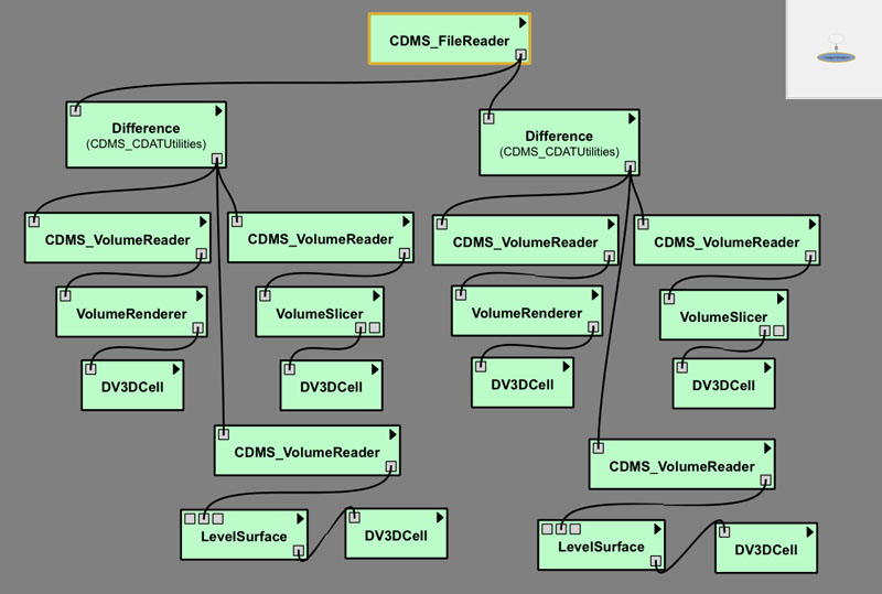
In collaboration with the Ultrascale Visualization Climate Data Analysis Tools (UV-CDAT) development consortium, NCCS is developing climate data analysis and visualization tools for UV-CDAT, which provides data analysis capabilities for the Earth System Grid (ESG). These tools feature workflow interfaces, interactive 3D data exploration, hyperwall and stereo visualization, automated provenance generation, parallel task execution, and streaming data parallel pipelines.
Results and Impact
ESG computational services allow unprecedented access to high-performance data processing applications in support of Earth system science, facilitating climate data analysis operations that would otherwise be very difficult or impossible. This effort directly supports NASA's mission to use remote sensing data and global models to better understand the dynamics of the Earth system. Analysis of observational and model data is essential in understanding how changes to Earth system processes, such as the climate, will impact humankind.
Thomas Maxwell, NASA Goddard Space Flight Centerthomas.maxwell@nasa.gov