NASA Earth Exchange: A Collaborative Supercomputing Platform
Overview
The NASA Earth Exchange (NEX) provides a new collaboration and knowledge-sharing platform for the Earth science community. NEX combines state-of-the-art supercomputing, Earth system modeling, workflow management, and NASA remote sensing data feeds to deliver a complete work environment in which users can explore and analyze large datasets, run modeling codes, collaborate on projects, and quickly share results.
Project Details
The overall goal of NEX is to improve the availability of Earth Science data, models, analysis tools and scientific results through a platform that fosters knowledge sharing, collaboration, innovation, and direct access to supercomputing resources.
The NEX system is comprised of the following key components: a web-based collaboration portal and knowledge network, a computing platform backed by NASA's Pleiades supercomputer, a software modeling framework based on the Terrestrial Observation and Prediction System, and over a petabyte of data from satellite sensors such as the Advanced Very High Resolution Radiometer, the Moderate Resolution Imaging Spectroradiometer, and Landsat.
Results and Impact
As the development of NEX continues, it will lower the barrier of entry to data- and compute-intensive science. NEX will provide a mechanism for continuous engagement among members of the global change science community, enabling them to work together to address the most challenging Earth science problems.
Role of High-End Computing Resources
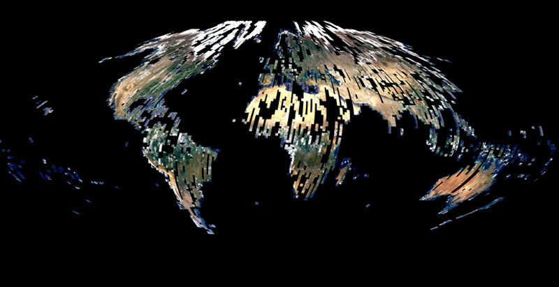
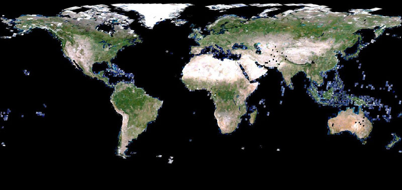
The Pleiades supercomputing architecture, combined with a massive data storage capacity and high-speed network, enables NEX to engage large scientific communities and provide them with capabilities to perform modeling and data analysis on a grand scale, which was not previously achievable by most scientists. As a first application of NEX, a team of researchers from around the country used NEX to adjoin and atmospherically correct a mosaic of 9,000 Landsat Thematic Mapper scenes and retrieve the leaf area index of global vegetation at a 30-meter resolution. The entire processing of the nearly 340 billion pixels in the composite took only a few hours on NEX, allowing the team to experiment with new algorithms and products within just a few days.
Petr Votava, NASA Ames Research Centerpetr.votava@nasa.gov Ramakrishna Nemani, NASA Ames Research Center
ramakrishna.nemani@nasa.gov